 NERC Data Catalogue Service
Regional geology
Type of resources
Topics
Keywords
Contact for the resource
Provided by
Years
Formats
Representation types
Update frequencies
Scale
-
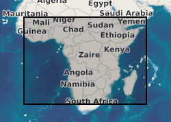
Data from geophysical surveys in many African countries carried out by the British Geological Survey for different agencies. The surveys range from regional gravity and airborne magnetic mapping to targetted surveys for mineral and water. Individual surveys do not yet have metadata entries: this entry describes a notional database that represents all geophysical surveys carried out within the region.
-
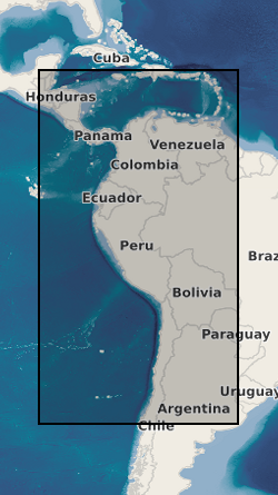
Data from geophysical surveys in many South American and Caribbean countries carried out by the British Geological Survey for different agencies. The surveys range from regional gravity and airborne magnetic mapping to targetted surveys for mineral and water. Individual surveys do not yet have metadata entries: this entry describes a notional database that represents all geophysical surveys carried out within the region.
-
BGS has carried out geophysical surveys in many countries for different agencies. The surveys range from regional gravity and airborne magnetic mapping to targetted surveys for mineral and water. Individual surveys do not yet have metadata entries: this entry describes a notional database that represents all overseas geophysical surveys.
-
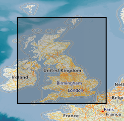
The database contains an index to over 600 ground geophysical surveys carried out in the UK for a variety of projects. A large number of these surveys were done for the DTI Mineral Reconnaissance Programme in the 1970s and 80s; many others were done at the request of BGS field mapping groups. Information held describes the survey objective, location of measurements, geophysical methods and equipment used, reports and publications, storage locations of data and results (for analogue and digital data), dates and personnel.
-
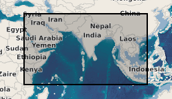
Data from geophysical surveys carried out by the British Geological Survey in many countries in the Middle East, the Indian sub-continent and Indo-China for different agencies. The surveys range from regional gravity and airborne magnetic mapping to targetted surveys for mineral and water. Individual surveys do not yet have metadata entries: this entry describes a notional database that represents all geophysical surveys carried out within the region.
-
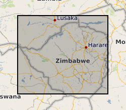
During the period 1982-86 a team of geologists from the British Geological Survey carried out a programme of regional geological mapping and geochemical exploration in collaboration with the Zimbabwe Geological Survey under a Technical Co-operation agreement supported by the UK Department for International Development (DFID) (formerly Overseas Development Agency). Three regions of Zimbabwe were mapped (Harare, Rushinga & Nyampanda, and Makaha) and the results of the stream sediment geochemical surveys were presented as three reports. Over 17,000 stream sediments were collected and analysed for Cu, Pb, Zn, Co, Ni, Mn, Li, As, Ba, Sn, Ta, and W. Raw data can be obtained from the Geological Survey of Zimbabwe, PO Box CY210,Causeway, Harare, Zimbabwe.